

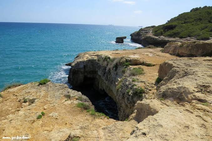
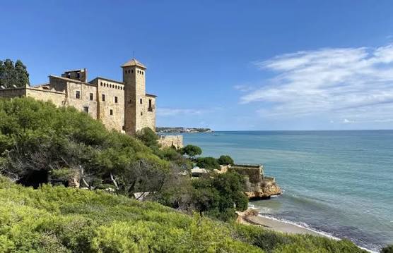
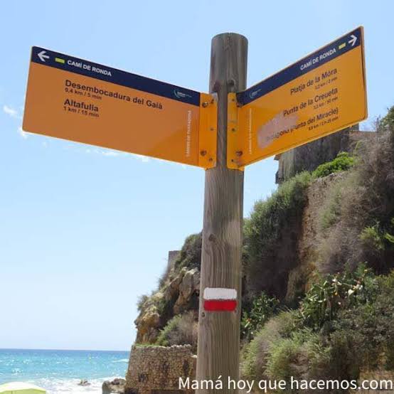
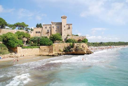
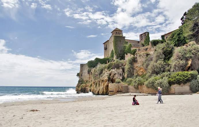
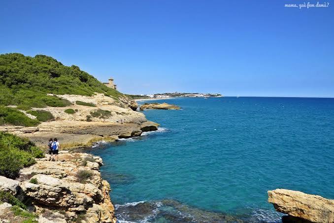
The Tamarit coastal path runs along one of the best preserved stretches of coast in the Tarragonès: unspoilt coves, pine woods right by the sea, Roman remains and a medieval castle perched above the rocks. A flat, waymarked route that can be walked at any time of year.
 Duration: 2:30h
 Distance: 9,5 km (there and back)
 Difficulty: Low
 Slope: 100 m

La Móra beach ➡️ Torre de la Móra ➡️ Cala Fonda ➡️ Bosc de la Marquesa ➡️ La Móra beach ➡️ Cala Jovera ➡️ Tamarit Castle ➡️ Tamarit beach
The Tamarit Coastal Path route
We set off from La Móra beach and take the coastal path, which along this stretch follows the GR-92, the long-distance trail that runs the length of the Catalan coast. After a few minutes we reach the Torre de la Móra, a round watchtower built to keep watch over the coast and defend it from pirate raids.
The path enters the Bosc de la Marquesa, a protected natural area of Mediterranean pine forest that reaches down to the sea. At Punta de la Creueta you can still see the marks of the old Roman quarry, and near Cala de la Roca Plana lies the Roman pier, the first industrial quay from Roman times found in Catalonia.
We carry on to Cala Fonda, also known as Platja de l’Arboçar or Waikiki: one of the few unspoilt coves left on the Tarragona coast, surrounded by woodland and with no buildings at all.
We retrace our steps to La Móra beach and head north to Cala Jovera, above which stands the medieval Tamarit Castle. The path continues along Tamarit beach and, if you want a longer walk, the GR-92 carries on to Altafulla.
Note: times are always approximate. Walking on your own or in a large group can significantly change the sector times and the final total.
>> Also visit Vinyes del Terrer winery
>> Discover the DO Tarragona



There are no reviews yet. Be the first one to write one.
